
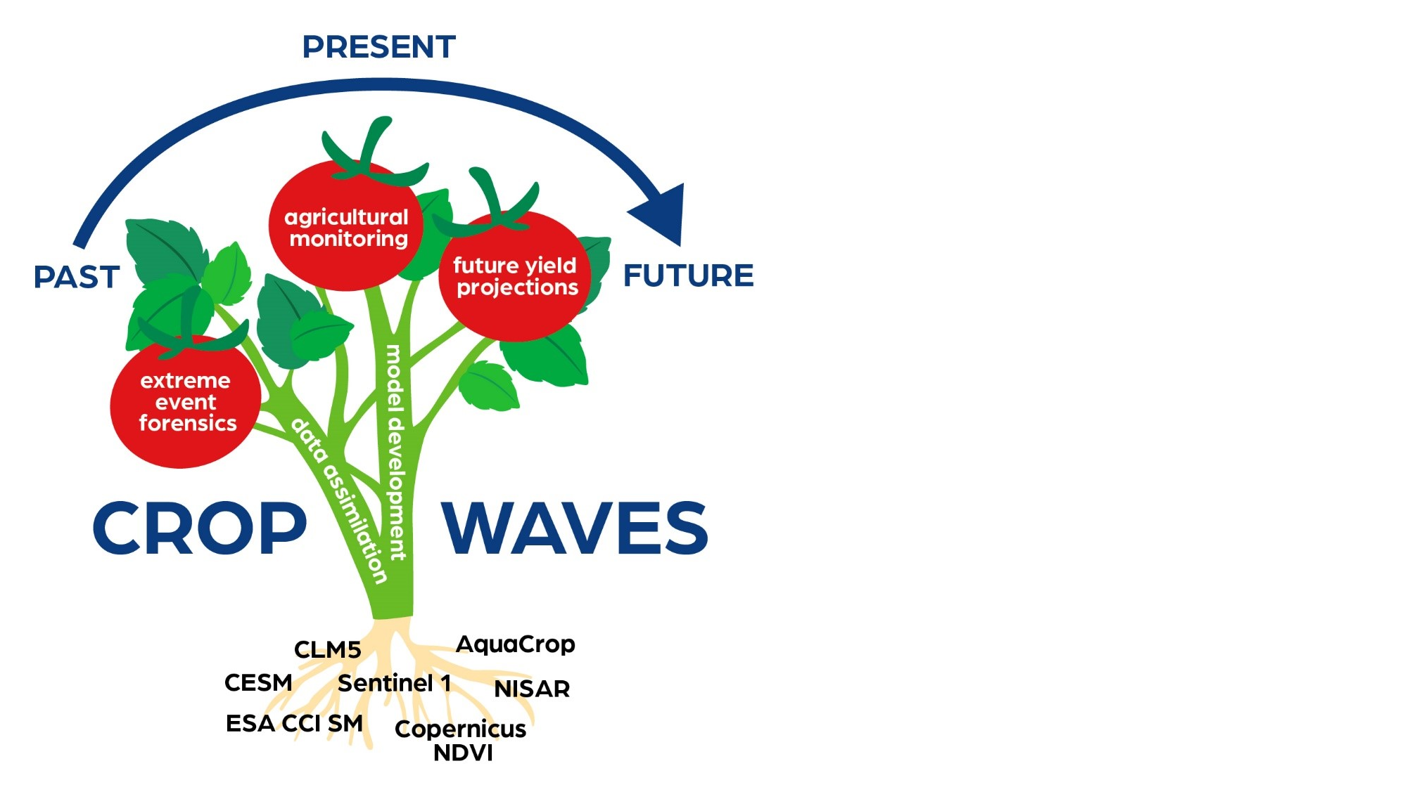
Crop production
has grown exponentially over the past centuries, mostly due to scientific
innovations and mechanical automation. The more recent developments in
technology have led to a growing interest of upscaling process-based crop
models, which typically calculate crop production for a field under homogeneous
soil, crop and management conditions, to assess agriculture from a regional
perspective. A limitation of these upscaled crop models is generalized
information of spatial input data. One way to try to correct for model errors
is the use of independent observations to update (state) variables in a data
assimilation system.
In my doctoral
research, I focused on the potential of using Synthetic Aperture Radar (SAR)
observations from the microwave satellite Sentinel-1 to correct for regional
AquaCrop soil moisture and biomass simulations over Europe via data
assimilation. The first phase consisted of the performance evaluation of a
spatially distributed version of the field-scale AquaCrop model. In the second
phase, the regional AquaCrop model simulations of soil moisture and biomass
were translated to backscatter, to facilitate evaluation with Sentinel-1
observations in preparation for Sentinel-1 based data assimilation system.
Finally, the evaluated regional AquaCrop model was implemented into a data
assimilation framework; NASA's Land Information System (LIS).
With the regional
model set-up (using generic input data) soil moisture and biomass productivity
patterns over diverse regions in Europe could be captured. The data
assimilation system showed potential for improving soil moisture and biomass
simulations, but needs more development to be fully optimal.